Home Contact  
 
Satellite images 15m LANDSAT 7 mosaic 30m LANDSAT 5 mosaic 120 – 1920m Landsat 15m ASTER Satellite image maps
Digital maps Shaded relief maps Topographic maps
Vector maps World-vector-map-set Tunisia vector-map
Services GIS / Remote Sensing Web-GIS 3D Visualization GIS-Server/Data Hosting Large scale printing

World-Vector-Map-Set: Global vector-map with satellite images and relief maps
3D Christchurch NZ  map -  vector data combined with  Physical  Relief map. 
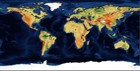
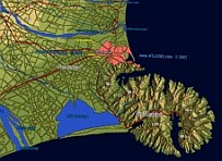
World-vector-map-set is a world-wide collection of vector-data, satellite images and shaded relief maps that can be used to easily create maps. All map data is in standard formats and optimized for most GIS or web mapping applications. The vector map contains points, lines and polygons, such as:

Oceans, countries, boundaries, cities, villages, infra-structure, hydrography, hypsograhpy, vegetation and many more features.

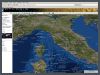
With the World-Vector-Map-Viewer you can browse a part of the data.
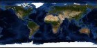
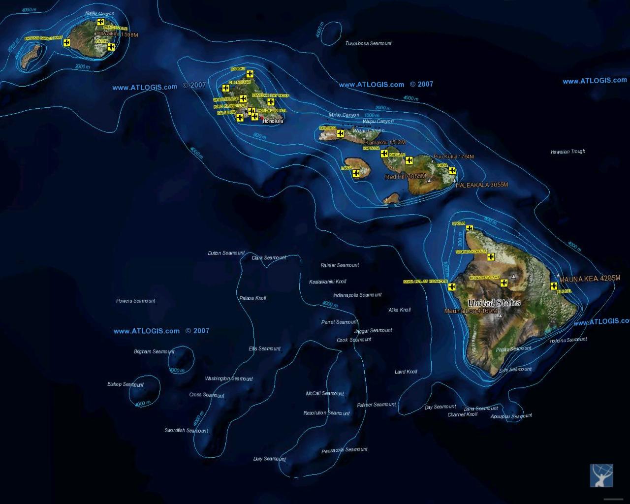
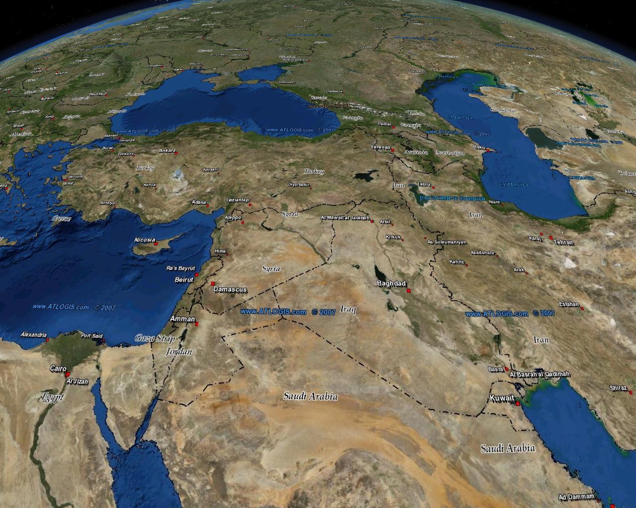
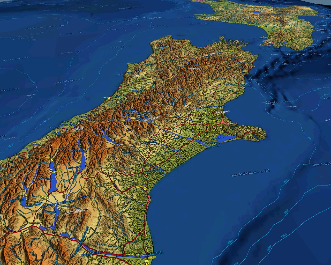
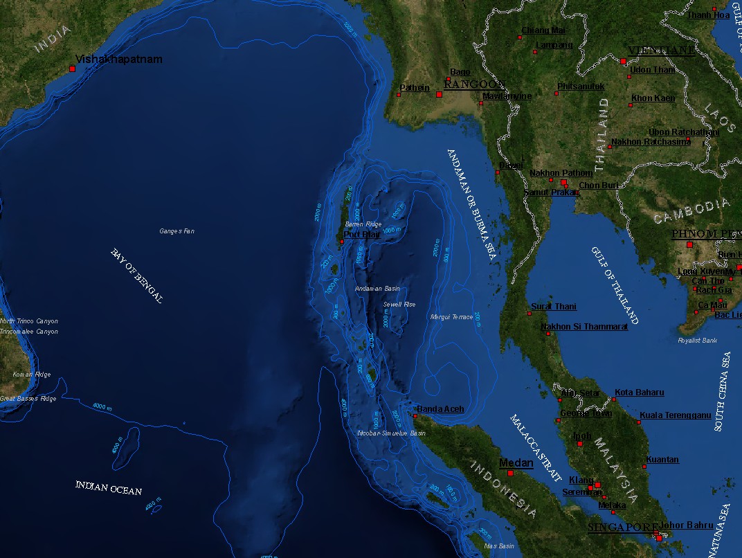
The World-Vector-Map-Set contains 41 background-maps:
Physical Relief Map: This world-wide shaded relief map is exclusively available at Atlogis. The resolution is about 1km/pixel. This physical relief map is also available with 90 meters/pixel resolution. Here you can browse the complete relief map. Global Physical Relief Map

Blue Marble Next Generation: This satellite image mosaic is based on NASA MODIS satellite scenes with a resolution of 500 meter/pixel. There are 3 different sets of the mosaic:
Normal, with shaded relief and with shaded relief and additional ocean relief.


Every set contains 12 monthly global composites ( January, February, …)
This makes all together 36 different global images in georeferenced ECW-format.


Natural Earth: This relief world map was created combining satellite images, elevation data and vegetation index maps. The resolution is 1240 meter/pixel.


Blue Marble Next Generation with ocean relief.

Natural Earth

Blue Marble: Global satellite image with a resolution of 1000 meter/pixel.

Earth at Night: This image of Earth’s city lights was created with data from the Defense Meteorological Satellite Program (DMSP) Operational Linescan System (OLS). Originally designed to view clouds by moonlight, the OLS is also used to map the locations of permanent lights on the Earth’s surface.
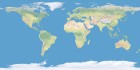
Vector-Map contains:
• Countries
• Cities ( > 2 mio. placesnames in 8 classes)
• Metro area
• Coastlines
• Country boundaries (international and regional)
• Road map
• Railroads
• Ferries
• Airports
• Rivers
• Lakes
• Oceans
• Contour lines and bathymetric lines
• Mountains
• Geographic names (forests, deserts, plains...)
• Heights
• Vegetation polygons (forests, woods, etc)
• Undersea features ( Reefs, Sandbanks...)
• Pipelines
• and many more

Vector data is available as ESRI-Shapefiles or others formats like PostgreSQL/ PostGIS-database. On demand also in custom projections and/or tiled and indexed for oprimized performance (e.g. for Web-Mapping).

Please contact us for further information.
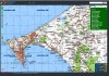
Geo-Browser for our satellite imagery and maps.
Landsat 7 v2 mosaic
Globales Satellitenbild
Mosaik in True Color

Topographic Maps
Topomapper
Browsen Sie topografische Karten weltweit.

Samples

3D Christchurch NZ  map -  vector data combined with  Physical  Relief map.

Hawaii map -  vector data combined with  satellite image.

3D-Near East map -  vector data combined with  satellite image.

3D Mt. Kilimajaro / Meru  map -  vector data combined with  Physical  Relief map.

3D New Zealand map -  vector data combined with  Physical  Relief map.

Indonesia Thailand Malysia Cambodia map -  vector data combined with  satellite image.
» Print » Top » Back